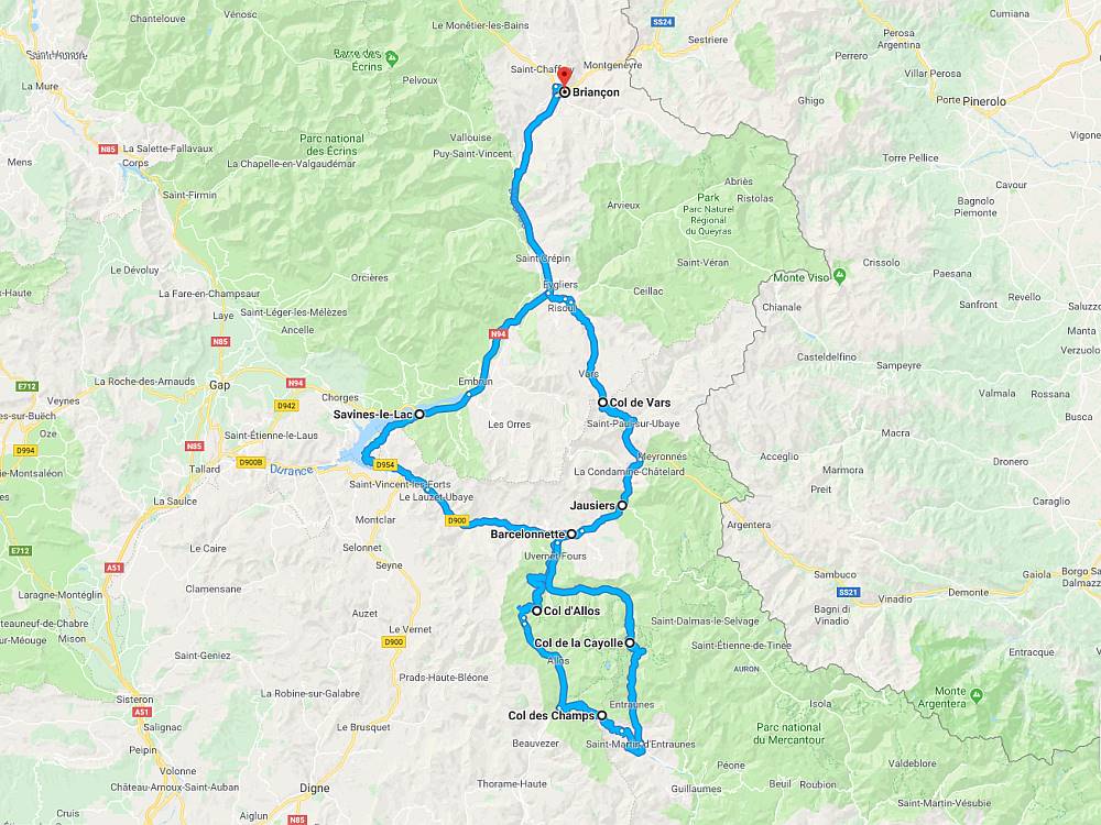
Location:  D2202/D902 Saint-Martin-d’Entraunes to Barcelonnette (31 miles)
Coordinates: 44.2592175,6.7438837
Ridden: 2008
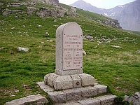 The Col de la Cayolle sits on the border between the departments of Alpes-Maritimes and Alpes-de-Haute-Provence. It connects Saint-Martin-d’Entraunes in the south with Barcelonnette to the north, in the Ubaye Valley, and lies parallel to the Col d’Allos and the Col de la Bonette in the Parc National du Mercantour.
It’s a fantastic bikers road and on the way up the southern ramp you pass the source of the River Var. On the northern ramp the road is mostly single track and much narrower. The scenery here is stunning as the road runs down the Vallee du Bachelarda through which the River Bachelard runs to Barcelonnette.
Routes & Posts: