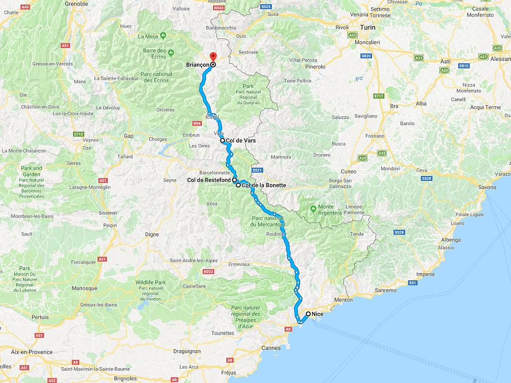
Location:  D2205/D64 Saint-Sauveur-sur-Tinee to Jausiers (48 miles)
Coordinates: 44.326699,6.807473
 There’s some confusion surrounding the Col de la Bonette and it starts with the signpost at the foot of the climb that makes the claim that it’s 2,802m above sea level and the highest road in Europe.
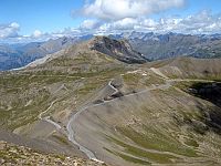
Not quite true as the road only rises to 2,715m and the Col de l’Iseran at 2,770m, the Passo dello Stelvio at 2,758m, and the Col Agnel at 2,744m are all higher. However, at the top of the Bonette there is a turn off to the Cime de la Bonette and it’s this scenic loop road that reaches an altitude of 2,802m.
Starting from Saint-Sauveur-sur-Tinee this ride is a spectacular and varied 34 miles up the southern ramp to reach the scenic loop road, and a glorious 14 miles down the northern ramp to Jausiers. Simply stunning, great to ride in either direction and not to be missed.
Routes & Posts: